Day four saw the cloud recede west, but high winds and precip still threatened at the head of the valley. We had to make our way out that day so hatched a plan to head over into the South Ashburton via the Ashburton Glacier and find our way back into the Cameron and home further down valley
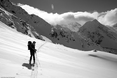 Sticking to the wind shadow on our way out of the valley
We aimed for the col between points 2350 and 2238 west of Cameron Hut hoping to avoid any excessively step terrain lee to the NW. This took about 2hrs on what was another hot day in August. Looking at the map now I realise we missed and actually crossed over the col south of point 2238. This explains why the glacier had snuck up valley, but I suppose that's what you get for not taking a map.
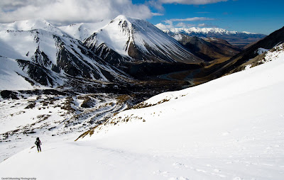 The view down Cameron Valley on the skin up
No matter though we had 800m of skiing at our feet and it looked good.
 Dropping in on the Ashburton River side
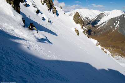 Not a bad way to travel
There was a slight bit of a concern about a rollover near the bottom possibly being bluffs. After careful assessment we decided she'll be right.
 Ed at the top of the rollover
Now we just had to find our way back to the car. The Ashburton River provided strait forward travel (there is a 4WD track) but as we were finding our own way back into the Cameron Valley there was still a bit of a possibility for excitement.
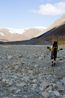 The Ashburton River
Couldn't help but think we might be in for more bush fighting as we were heading strait for the area of our little detour on the way in. We headed up the fence line south of Wild Mans Hill and dropped down by the stream north of point 1433. Bit of steep matagouri bashing but it wasnt to thick. Taking 7hrs form Cameron Hut to car certainly beats the standard way out.
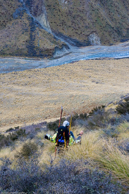 Dropping back down into the Cameron
1 comment:
Options for future river bed travel
-wild horse
-hovercraft
-flyingfox
-dingy
-canadian canoe
Post a Comment