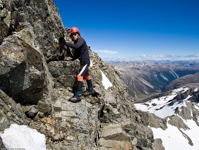
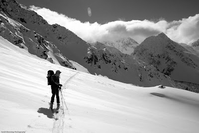
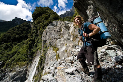
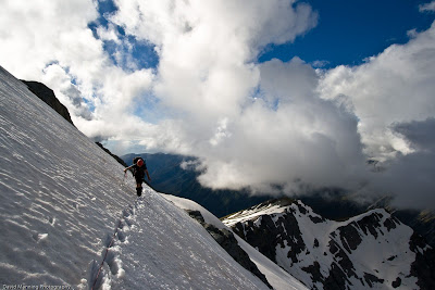
 Half way up waterfall 1, Scott Creek
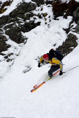
The Douglas Neve was in condition so getting to the top of Sefton was easy. Turned out all the excitement was to be had getting round the waterfalls in Scott Creek.
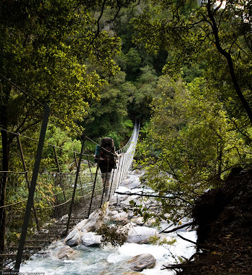 Swingbridge on the Coupland Valley Track
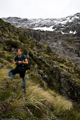
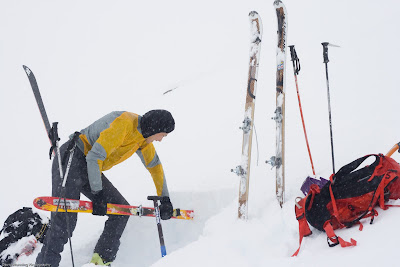
Day 1 we headed over to the Coupland Valley from Christchurch and walked into Architect Hut, a cosy little two bunker half way in to Welcome Flat. We made a sunrise start the next day and headed past Welcome Flat and into Scott Creek, after stashing a celabortory bottle of wine at the hut of course.
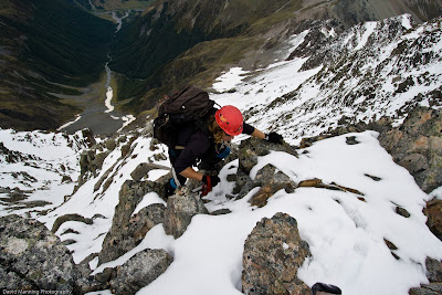
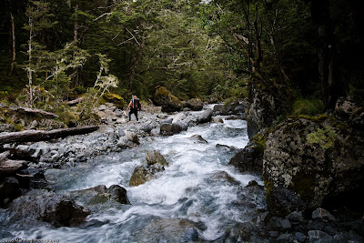
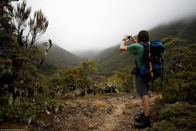
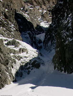
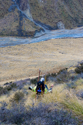
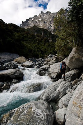 The bottom of Scott Creek
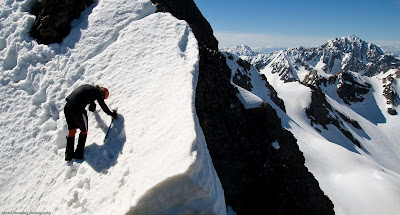
Getting up Scott Creek requires finding your way round two waterfalls via slabs on the true left. This required heavy reliance on the local foliage to haul your way up and across, with the ever present reminder of a drop into the creek below you. There was some evidence of the guided operation with some sketchy looking abseil anchors around. Which we used for some sketchy abseils on the way back down.
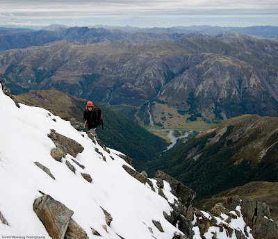
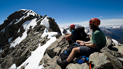
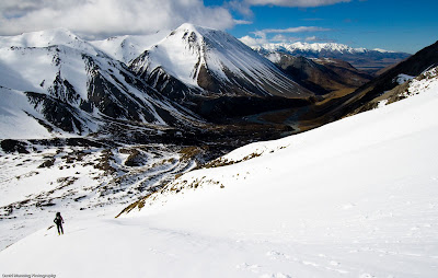
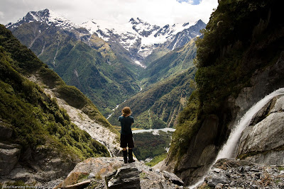 Looking accross the Coupland from above the Second Waterfall
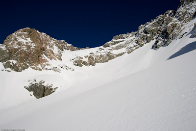
Above the waterfalls its a straitforward slog up to a good campsite on Welcome Pass.
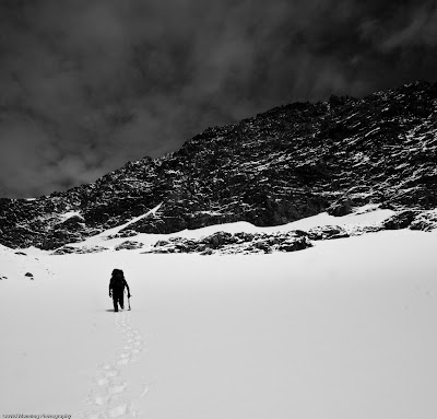
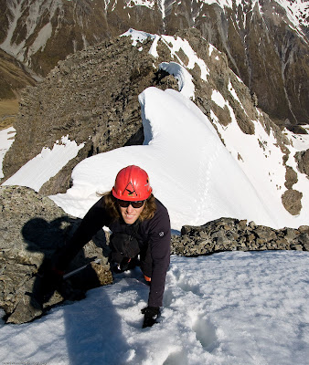
 Crossing the glacier en route to Welcome Pass
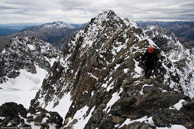
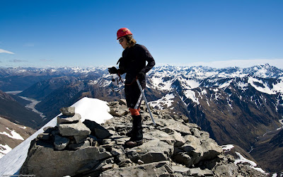
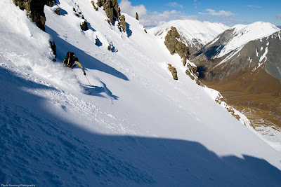
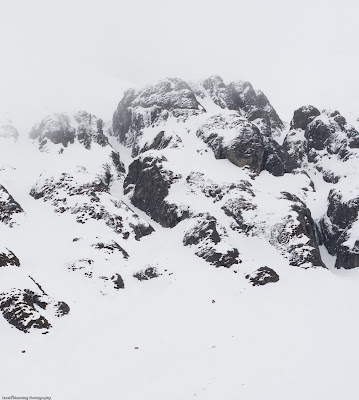
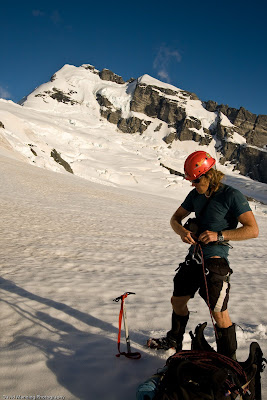 Mt Sefton from our campsite
The next day we were greeted by a whiteout, as it happens friends of ours had decended this way the day before leaving tracks down from the summit. So we followed these to tag the top but not the most satisfiying summit day. Did catch enough of a glimpse of the east face from the summit to make me rethink the advisablitiy of soloing that route.
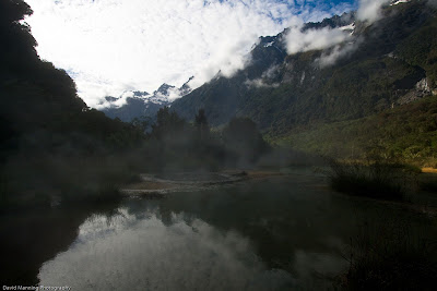 Welcome Flat hotpools were a nice way to round off the trip
Read more